Donna Udall discusses a new project to get citizen scientists involved in discussions about Welsh landscapes.
How do the local community feel about their local lands? How do they use them? How would they manage them? These are just some of the questions that the Centre for Agroecology, Water and Resilience (CAWR) of Coventry University will be asking people in and around Merthyr Tydfil this summer as part of a project grant funded by Natural Resources Wales (NRW).
The common lands and public forests of Wales are open to all for walking, running, climbing, sightseeing and wildlife watching. Now more than ever, these lands are vital in providing a mental and physical health service for locals and tourists alike. However, they are also farmlands and are important in providing food for humans and space for biodiversity. As the use of these lands changes, and in some places, intensifies, how can we be sure that all who need them get full access to enjoy them? Who better to ask than the public?
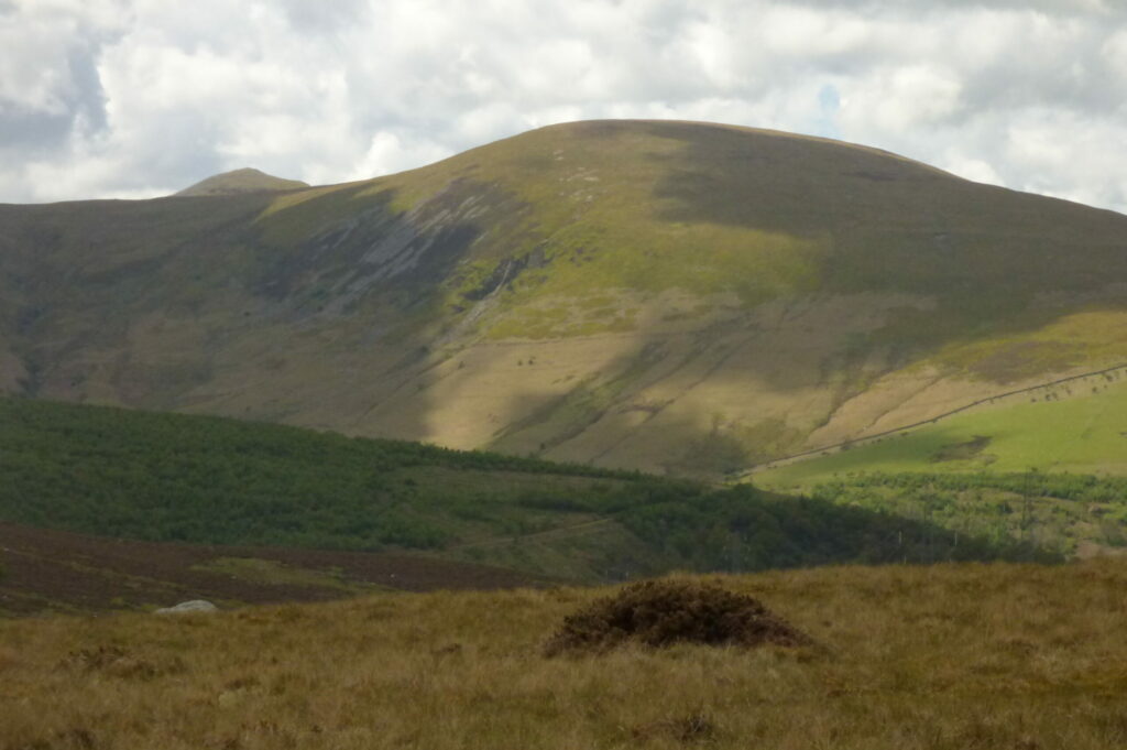
Our citizen scientists will be asked for their memories of how the Brecon Beacons and other landscapes in the area used to look years ago and how they used those lands.
NRW and CAWR have launched a unique project to engage with the people of Merthyr and surrounding areas to find out how they used their local lands in the past, how they use them now, and what changes they would like to see in the management of common lands. The project team will be inviting locals from a diverse range of backgrounds to join our citizen scientist team.
We will be getting in touch with many groups and organisations covering a range of ages, genders, orientations, abilities and ethnic diversities to join us as citizen scientists and participants in our project.
Our citizen scientists will be asked for their memories of how the Brecon Beacons and other landscapes in the area used to look years ago and how they used those lands. They will also have the opportunity to share how they would like to use them now, using a range of media, including a postcard app we will set up for the project and train participants to use. This app will allow people to record a photographic memory of their favourite spot in the Beacons on the front of the card and then, on the back of the card, what that spot looks like now and how they would change it. Participants will also be able to use our solution shorts videos where they can record themselves showing their favourite spot in the landscape, what challenges they have accessing it and how they would change it (training will be given for this too).
Syniadau uchelgeisiol, awdurdodol a mentrus.
Ymunwch â ni i gyfrannu at wneud Cymru gwell.
Before sharing their ideas with us, our citizen scientists will meet a range of landscape experts so that they can better understand the opportunities these landscapes offer, as well as the threats they are under including the challenges of managing them. These may include an array of experts, such as Brecon Beacons National park representatives, soil scientists, ecologists, renewable energy experts and many more. They will discuss their concerns for local landscapes and how they might be addressed.
Some citizen scientists will also receive training from Pori Natur a Threftadaeth (PONT) who promote conservation grazing schemes using different animals – like cows and ponies. They will train our scientists on restoration grazing, livestock and people in the country. Once we have gathered all the views from our participants, we will develop websites and an art installation at an appropriate venue. These will capture the views and ideas on landscape management of the people of Merthyr. If you would like to be one of our participants, get in touch by writing to [email protected]
All articles published on the welsh agenda are subject to IWA’s disclaimer. If you want to support our work tackling Wales’ key challenges, consider becoming a member.
This article was edited by Kaja Brown thanks to the Books Council of Wales’ New Audiences Fund.


